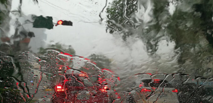
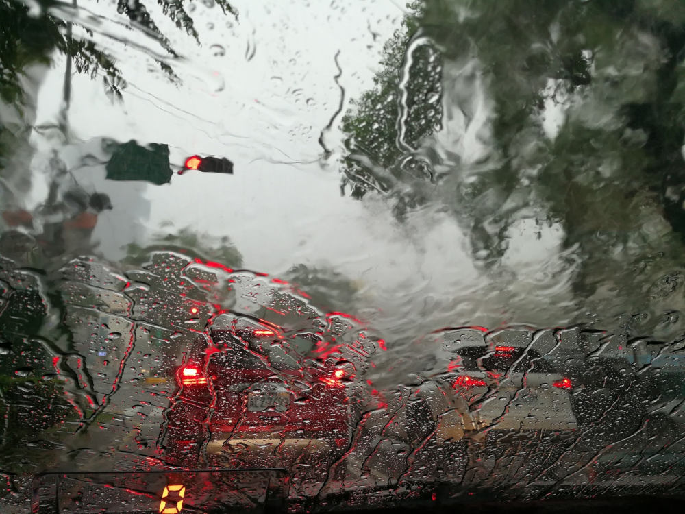
As rain continues to smash the east coast, many are looking for a let up in the wet weather.
Released today, the BOM’s latest model runs indicate rainfall is likely to be above-median for large parts of Australia.
With the rest of the country expecting a fairly normal season.
The outlook states,
There is an increased chance of unusually high rainfall (in the top 20 per cent of historical records) for March to May in much of south-east Queensland, north-east NSW, and scattered areas across south-east Australia (1.5 to 2.5 times the usual chance).
The tropical wet season typically runs until the end of April so there still plenty of time for cyclones this season.
And as we are seeing this week, with already wet catchments it isn’t taking much to trigger floods.
Most highly populated coastal areas are expected to have above-average maximum temperatures, with the exception of New South Wales.
The neutral to above-average chance of rain in the south over the coming months is generally positive news for farmers hoping for a good break to get the crop in.
But as usual, this is an outlook not a promise. Weigh your risks, folks.
How much longer will La Niña hang around?
The latest climate driver update issued by the BOM last week, suggests La Niña has now peaked and is expected to return to neutral levels in mid-autumn.
The typical life cycle of a La Niña is formation in spring or early summer before dying in autumn.
We will have to wait a few more days for the summer data to be finalised, but the La Niña has been helping to drive wetter-than-average conditions for many parts of the country since it reached maturation late last year.
We have now officially been under La Niña conditions since November.(Supplied: Bureau of Meteorology)
This latest round of tropical wet weather is also being aided by a burst in the Madden-Julian Oscillation (MJO) over the maritime continent to our north.
This phase of tropical activity is also creating the perfect breeding ground for cyclones.
Meteorologists are currently watching both the Timor Sea and the Gulf of Carpentaria, where systems look to be brewing.
We will have to wait and see if, when and where these potential tropical cyclones eventually do form.
Perhaps this is the time to check your umberalla – your insurance policies. Austbrokers Terrace can help you review your protections.
Source: ABC News